 Kuwait Official Environmental Portal
Kuwait Official Environmental Portal
Kuwait Official Environmental Portal
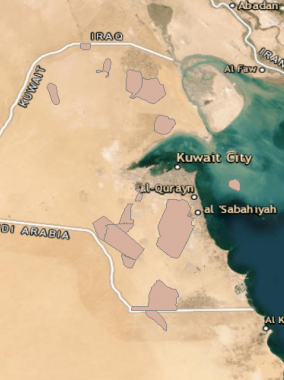
Oil and Gas Fields
This layer represents the regions with an abundance of oil and gas wells extracting petroleum from below ground.

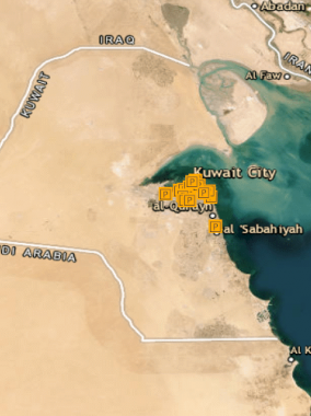
KNPC - Industrial Effluents Monitoring Locations
This layer represents Industrial Wastewater effluents monitoring sites within Kuwait.

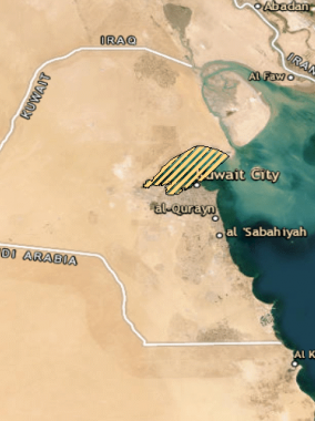
Landfill Sites
This layer represents Landfill sites for the disposal of waste materials.
Wastewater Pumping Stations
This layer represents the locations of Wastewater Pumping Stations within Kuwait.

Wastewater Treatment Plants
This feature class represents the Wastewater Treatment Plants within the international boundaries of Kuwait.

Hazardous Waste Disposal
This layer represents the designated sites for the hazardous waste disposal including the industrial wastes as well as other waste types (oil spills, contaminated soils, dredged materials, etc.)
Fishing Zones
This layer represents the administrative marine fishing zones where a specific type of fishing is Permitted/Prohibited for commercial purposes.

Coral Reefs Areas
This layer represents the Coral Reef boundaries covered in Arabian Gulf with in international boundaries Kuwait.


