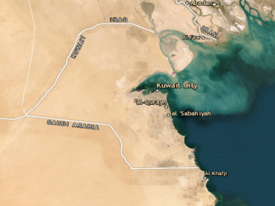
This layer represents the defined camping areas for the season (2019 – 2020) in Kuwait.
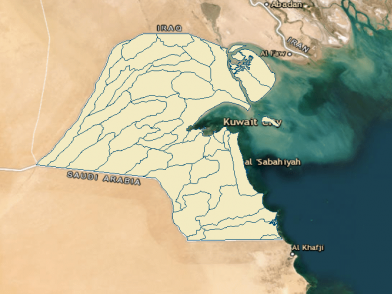
Catchments
This layer represents the catchment areas in Kuwait.
Desalination Plants
This layer represents the power generation / desalination plants. Different unit types and capacities are represented as well as the most recent statistics for each plant.
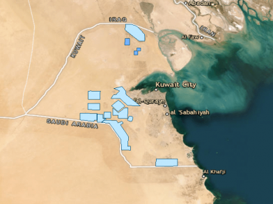
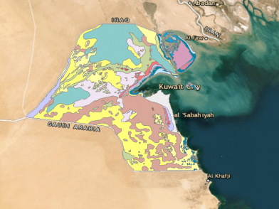
Ground Water Fields
This layer represents the areas demarcated for water extraction fields from the ground water wells.
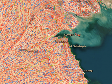
Drainage Lines
This layer represents the lines passing through the centers of the Digital Elevation Model (DEM) cells on a drainage path.
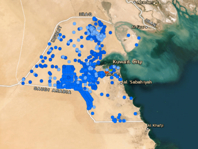
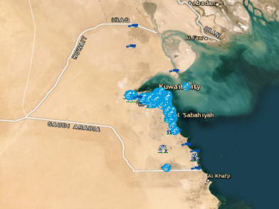
Water Wells
This Layer represents the various types of Water well Locations covering Kuwait.
Drinking Water Monitoring Locations
This layer represents the locations where drinking water samples are collected for water quality determination.
Surface Sediments
This layer represents the loose unconsolidated deposit of weathering debris, chemical precipitates or biological debris that accumulates on Earth's surface.
 Kuwait Official Environmental Portal